Canada’s Arctic sovereignty is linked closely to its ability to monitor, control, and respond to underwater activity in the polar waters that comprise the Canadian Arctic Archipelago (CAA) and its approaches (Beaufort Sea, Labrador Sea, Baffin Bay, Hudson, and Davis Straits.) However, maritime operations in high latitudes are more difficult than similar undertakings south of the 60th parallel, particularly for submarines, both ally and adversary. The next few paragraphs will touch upon some of the impediments to sub-surface vessel operations in the Arctic and, by extension, the challenge of underwater surveillance activities in the North.
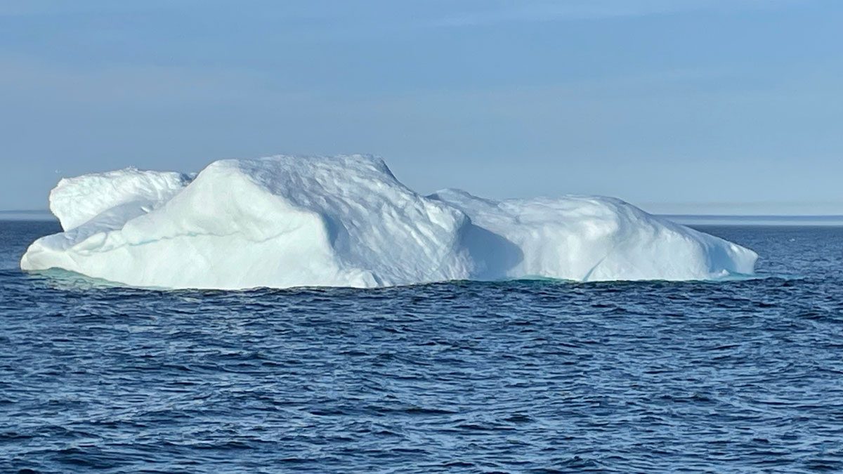
The Arctic Environment
For those who have never had the opportunity to work in the north it is difficult to comprehend the vastness and the remoteness of the area. The label “Arctic” paints a picture for many of a bleak, homogenous landscape of barren rock and frozen sea. Yet, there are five distinct marine oceanographic domains in the Canadian Arctic set among diverse topographies ranging from high mountains to flat low-lying islands only a few metres above sea-level. The approaches of the Labrador Sea and Davis Strait being wide and relatively deep are better suited for submerged operations whereas the Archipelago is set in a shelf sea with shallow sills. Some straits are extremely narrow (less than a nautical mile), limiting options for submerged transit. Depths range from 800 metres in the approaches to 30 metres and less in some channels and sounds.
The Canadian Arctic can be notoriously difficult for navigation. A major aspect of this is the Arctic Ocean itself. For eight to 10 months of the year, sea ice coverage ranges from 80 to 100 per cent throughout the CAA. The northern and western boundaries can accumulate five metres or more of sea ice, and it can thicken dramatically as it approaches the many islands and narrow channels. While ice cover and flow can be observed easily by satellite and aircraft, ice keels are a different matter. Ice ridges and rafting create deep ice keels, posing hazards for submerged submarines and UUVs.1 This same mobile ice is challenging for shore-terminated cabling, and sensor elements/connections may even be susceptible to deep-water scouring by bergs or old ice ridges.
The Arctic remains an unfavourable environment for acoustic sensors. Arctic sound velocity profiles are layered. There is a cold, fresh Arctic water layer down to roughly 60 metres. Under that are the Pacific and Atlantic water masses and then, if bathymetry permits, deep water. Seasonal freeze and melt processes alter salinity and density, reshaping propagation conditions. Ambient noise is high due to ice movement, limiting passive acoustic detection, and reverberation from under-ice reflections reduces the effectiveness of active sonar. These factors complicate acoustic detection (and counter-detection) and can confuse the classification of underwater targets.
GPS satellite ground tracks do not pass directly over the North Pole and the satellites are observed at low elevation angles, making their navigation signals more vulnerable to terrain masking, multipath reflections from ice ridges, mountains, and ships’ superstructures. Aurora and ionospheric disturbances in polar regions can introduce errors or signal loss, especially during geomagnetic storms. Signals from commercial communications satellites in geostationary orbits near the equator become unreliable in latitudes north of 75 degrees. While there are some military systems in high-inclination elliptical orbits designed to dwell in high latitudes, overall communications connectivity is sparse compared to mid-latitudes and co-ordination of operational responses can be a challenge.
The Canadian polar region remains an area of inadequate hydrographic coverage for safe navigation, let alone underwater surveillance. Only 16 per cent of the Arctic is surveyed to modern standards of accuracy with multi-beam sonar, and only 48 per cent of primary and secondary low-impact shipping corridors are charted to either adequate or modern standards.2 These corridors are often only a couple of kilometres wide, permitting cargo vessels access to remote hamlets for resupply. In areas not surveyed to modern standards distances between sounding lines can be too great to facilitate reasonable interpolation of depth. Likewise, the accuracy of sounding positions may not accord with modern positional accuracy; soundings may be geo-referenced by terrestrial bearings only. As such they may more accurately relate to one side of a particular channel. In some areas paper charts only are available and these may be caveated with “unknown horizontal datum,” indicating possible positional errors of up to seven nautical miles.
The National Oceanic and Atmospheric Administration’s worldwide Bathymetric Data Viewer shows that there are many sources of bathymetric data other than published charts. The Viewer shows generalized contours down to 10 metres and the paths of individual ship and research voyages for which track-line soundings might be available. The Canadian Hydrographic Service has similar information and many other field sheets of sounding data, in areas for which detailed charts are not yet available due to lack of quality data. Moreover, it must be assumed that our nuclear submarine-operating allies have classified charts of Arctic areas not frequented by surface ships. Indeed, Russian eco-tourism ships demonstrate comfortable levels of familiarity with the Canadian Arctic, and it has been suggested that Russian charts include additional knowledge from Cold War submerged transits.3
The remoteness of the Arctic poses a further challenge to submerged operations; the range to support services can be prohibitive in terms of transit time and efficiency. Canada has no accessible Arctic shipyards for submarines or warships. Canada’s only Arctic naval port, the Nanisivik Naval Facility, consists of a rudimentary berthing arrangement with refueling capability, and no other resident support for vessels (or aircraft) at that site. The surrounding population is distributed sparsely in small hamlets. The settlements are often separated by hundreds of kilometres, and they can offer no assistance.
Submarines and UUVs face specific challenges when operating in Arctic waters. Depth control can be difficult due to the rapid seawater density fluctuations. The navigational uncertainty of bathymetric contours and actual thickness of ice makes the calculation of safe clearances quite suspect. These conditions pose considerable risk for transits that must be completed underwater, possibly without terrestrial position corrections. The prospect of being blocked by deep-keeled ridges and having to retrace routes is real, possibly at the risk of diminishing reserves of energy (if not nuclear-powered or with limited AIP). While these risks are not as great for smaller uncrewed vessels with lesser draughts, they are nevertheless susceptible to the austere polar weather, high winds, and poor visibility, and may lack the power and endurance to stem the strong currents in shallow channels.
Underwater Surveillance Technologies
Undersea operations should be viewed in terms of undersea families of systems and distributed networks. Conceptually, networks of crewed and uncrewed sensors from the ocean bottom upwards through the water to the space above would form a single system of systems. As such, submarines being part of this system would increasingly need to shift from being front-line tactical vessels to being co-ordination platforms that can host other elements of surveillance technology. For example, submerged submarines are now capable of covert deployment and control of uncrewed aerial vehicles (UAVs).4
Large UUVs and other smaller, less detectable systems increasingly may be used rather than submarines for tactical missions in the Canadian Arctic. These missions would include coastal intelligence gathering, surveillance, and electronic warfare. For survivability, sophisticated counter-detection technologies need to be developed for UUVs that complement host submarines.
The technology of traditional naval sensors (radars and sonars) has come a long way in the past 30 years, becoming ever more sensitive and discriminating, and inhabiting much wider spaces of observation from space to ocean depths. Advances in information systems (especially automation, networking, and digital data management/ communications) have made it possible to handle and integrate massive amounts of data. As well, increasing miniaturization of sensing and motive technology means that very capable and small platforms can undertake missions only previously possible with crewed vehicles. At the same time, some technologies or sensing mechanisms identified during the Cold War still seem yet to be unrealized or at least are of marginal utility in modern anti-submarine warfare.
Apart from the fleeting opportunities offered by submarines exposing themselves, such technologies as Infra-Red, ELINT, radar and optical seem to offer little value, and especially relative to a submarine presumed to be under ice. Other sensing technologies such as turbulent wake detection, LLTV, gravimetry, and chemical detections require close proximity to the target and may only be useful with precise cueing. LIDAR has some promise as a confirmation sensor by aircraft but will be limited over ice. This leaves as the workhorses of submarine detection, active/passive acoustics and Magnetic Anomaly Detection (MAD). Notwithstanding the challenging Arctic acoustic environment, these methods of detection are continuing to advance in sensitivity and deployability, offering novel approaches to the underwater surveillance problem.
Climate Change
Predictions suggest that the present rate of melting will result in an ice-free Arctic for some part of the summer by the mid–2030s to 2040s. The Arctic Ocean will continue to refreeze in the winter months, but this ice will be first-year ice as opposed to the multiyear or permanent ice cover, and thus thinner and softer. This new accessibility will lead to increased marine traffic in passages that have seldom, if ever, seen ships and will add to the complexity of the surveillance problem. Of greater concern for land-based systems and those with shore-terminations for sea-based structures, current models predict that the extant area of permafrost will decrease by 37 to 81 per cent by end of the century. This melting will alter surface hydrology and groundwater regimes and negatively affect landscape processes. Thawing of submerged permafrost creates an unstable seafloor in which sinkholes can develop rapidly and unexpectedly, potentially disrupting arrays or cabling buried there. Methane, stored in the permafrost and in crystallized form on the seafloor, accelerates global warming, in turn causing more thawing of permafrost, methane release and instability of terrain and seabed.
Conclusion
The future of Arctic underwater surveillance lies in system-of-systems integration combining space, surface, subsurface, and seabed systems, with its constituent parts constrained by the frequently harsh and rapidly changing Arctic environment. Cueing and complementary data from satellites, Allied surface ships, submarines and aircraft, networks of acoustic arrays in the approaches and at carefully selected chokepoints, and mobile sensors on UUVs and autonomous underwater vehicles for pursuit will be keys to success. The surveillance solution will require a high level of equipment and operational investment to make it work; it remains to be seen whether the government will back its promises for northern sovereignty with allocation of the necessary resources.
References:
1. An unmanned (or uncrewed) underwater vehicle (UUV) is any vehicle that can operate underwater without a human occupant.
2. Canada, Fisheries and Oceans Canada, “Arctic charting,” in Nautical Charts and Services, last modified 17 May 2023. https://www.charts.gc.ca/arctic-arctique/index-eng.html. (Accessed 11 September 2025.)
3. Ron Weber, Globe and Mail, 6 December 2011, https://www.theglobeandmail.com/news/national/from-the-archives-russian-maps-suggest-soviet-subs-cruised-canadian-arctic/article4180292. (Accessed 10 Feb 2020.) While the assertions of this article are possible, it is considered unlikely that information from covert Soviet deployments would make its way to unclassified charts in the public domain.
4. For example, the Blackwing UAV can be embarked in US SSNs. Blackwing employs an advanced, miniature electro-optical and infrared payload, an anti-spoofing module GPS and secure digital datalink.